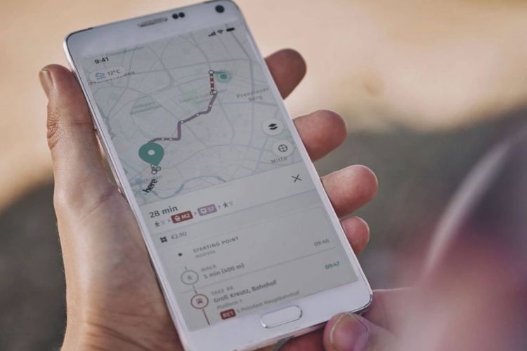
The most famous navigation applications, such as Google Maps or Waze, have the virtue of constantly updating their maps so that drivers are informed about what is happening on the road. To do this, they depend on the good work of the users and that the authorities notify them of any incident… something that does not always happen. HERE has created UniMap, an app that updates your maps in seconds without relying on anyone: a project in which BMW is involved.
It may have happened to you or you may know someone who has been a victim of disinformation from Google Maps or Waze and has ended up circulating, for example, in a road that is closed: why? Because no one (authorities and drivers) has informed about it and it has not been possible to mark it in the application: unforeseen events that can ruin any journey.
Keeping digital maps completely up to date is a big challenge for all companies that provide navigation services. The most efficient formula seems to be the one that Google Maps and Waze trust: a huge community of volunteers that takes care of it. Both have map editors in almost every part of the world, but even then, it is not possible to keep everything up to date and correctly mark changes in real time.
HERE’s UniMap
This Achilles heel is the starting point for HERE’s proposal: it has presented UniMap, an application where the creation and updating of maps does not depend on anyone to provide a smoother and faster service. A technology that has been developing for the last three years in close collaboration with automobile groups such as BMW.
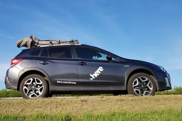
How does UniMap manage to be so fast when it comes to updating the maps? Employ multiple sources, ranging from vehicle cameras to LiDAR sensors, including aerial images and data from the ‘Internet of Things’ (IoT), where different devices and systems exchange information.
What information will it give?
HERE software is already installed in millions of vehicles, so they only have to use their sensors to collect all kinds of data to offer the driver the position of traffic signs in 2D and 3D, speed limits and, above all, to build the missing roads.
The amount of information you’ll need to process is considerable, but according to HERE, everything has been designed to be as easy as possible. automated possible. As a result, its Artificial Intelligence systems can process 500 million kilometers of data every hour.
Thus it is possible to create a unified map that includes all the updated information and precise details about what is happening on each journey. The permanent data collection and their processing allow adjustments to be sent in seconds so that maps can be updated in near real time. However, HERE makes a point here: big road changes can take up to 24 hours to appear.
2023 and 2024
HERE’s goal is to have UniMap available to the first customers sometime this year, as its global launch is scheduled for 2024. Of course, for now, it does not have a specific date.


